NASA didn’t set out to track sewage from space. But thanks to some sharp scientists and a powerful instrument onboard the International Space Station, they have figured out how to do exactly that.
It all started with EMIT, a tool meant to study dust. Now, it is spotting dirty water from space, helping to track pollution, such as sewage spills, in real-time. That means better data, faster action, and a new way to protect people and the environment.
How EMIT Went From Dust Tracker to Pollution Detector
The EMIT instrument sits on the outside of the ISS, orbiting Earth around 250 miles above. Its job was originally to look at minerals in desert dust and understand how dust affects the climate. But scientists realized it could do more.

Pra / Unsplash / EMIT can scan hundreds of wavelengths of light, including ones our eyes can’t see. This lets it detect tiny differences in what materials are made of based on how they reflect light.
That includes things like sewage in water.
The real discovery came when scientists noticed something strange while studying the water near San Diego. There was a dip in light reflected at 620 nanometers, which is in the orange-red range. That dip showed up in water contaminated by sewage.
This light signature proved to be a reliable indicator of pollution. It even aligns with the presence of bacteria like Enterococcus, which health agencies use to determine if water is safe for swimming. The reason? It is likely caused by pigments from bacteria that thrive in nutrient-rich sewage or other organic matter in the water.
Spotting the Tijuana River Spill From Space
To test their method, researchers focused on a known sewage event: the Tijuana River spill, which frequently discharges wastewater into the Pacific near San Diego. Using EMIT data, they watched how the pollution spread.
The imagery showed the path of the plume clearly, stretching along the coast. As the sewage diluted in the ocean, the 620-nanometer dip faded, allowing scientists to track the concentration of contamination in different spots.
That is the kind of detail that is hard to get on the ground. Boats can’t always get close, and water samples only tell you what is happening at that one location. However, from space, EMIT provided a full and clear picture of the spill's reach, even in areas that are usually out of reach.
NASA / With satellite data like EMIT’s, you get a big-picture view almost instantly. It doesn’t replace lab tests, but it can show where the worst spots are, so teams know where to focus.
Water Safety and Public Health
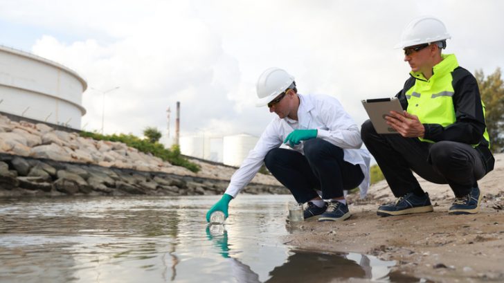
This could actually help protect people. Traditional water testing is slow and limited. You grab a sample, take it to a lab, and wait for results. Meanwhile, people might be swimming in contaminated water.
That makes it easier to put out warnings and keep beachgoers safe.
It also means tracking changes over time. If a city fixes a broken pipe or installs a new treatment system, EMIT can help monitor whether the pollution problem is truly being resolved. A long-term view like that is hard to achieve without satellite help.
NASA’s space tech is already helping us understand Earth’s climate. Now, it is adding another job to the list: spotting sewage and tracking contamination that affects real communities. From a lab in orbit, we are gaining a deeper understanding of what is happening in our oceans.